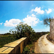
St.Matthew Chapel – Tal-Maqluba Qrendi (Ref: pfm150152)
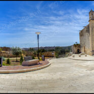
Tal-Maqluba is an unique location in Qrendi hosting a sinkhole created in the 13th Century. At the entrance of the path leading to the sinkhole stands this quaint chapel dedicated to St.Matthew. On the 23rd November 1343, Malta experienced one of its most severe winter storms ever, possibly accompanied by an earthquake. It was at this time that il-Maqluba was formed. This is a natural depression formed by the collapse of the underlying limestone strata, known as a doline in geological language. It is now a sinkhole, collecting rainwater from a three-mile radius and helping to...
Read MoreChinese Garden of Serenity – (Ref: pfm140187)
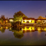
A long exposure panoramic image of the magical Chinese Garden of Serenity in Santa Lucia. The Chinese Garden of Serenity is located in Santa Lucija, and was inaugurated on July 7, 1997. Its layout presents various philosophical ideas traditionally symbolised in Chinese gardens and invariably offers a unique spiritual connection with nature. Chinese gardens are landscaped to represent a complete world of balance, and are intended to encourage people to roam freely with their inner thoughts, offering spontaneity and surprise rather than symmetry. Rocks and water are the two important elements,...
Read MoreIsla – Il-Gardjola (Ref: pfm140184)
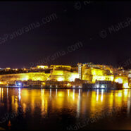
Il-Gardjola in Isla (Senglea) with a view of Valletta in the background. The guard tower, ‘Il-gardjola’, has various symbols sculpted on in such as an eye, an ear and the crane bird, representing guardianship and observance protecting the Maltese shores. The eye on the tower is a popular icon representing Malta, featured in many brochures about the Island. This particular one is situated in the ‘Gardjola Gardens’ in Senglea, originally planned by Grandmaster De La Sengle in 1551. A lovely view of Valletta by night can be enjoyed in the background. The Gardjola was built by the...
Read MoreFilfla (Ref: pfm140181)
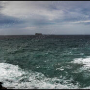
A view of Filfla from Ghar Lapsi. Filfla is a tiny, barren, uninhabited island. Better to say islet. It is a most southerly part of the Maltese islands, approximately 5 kilometers down from Dingli. Next to Filfla there is even a smaller islet, Filfoletta. It is quite interesting, but its name comes from the word “filfel”, which means “peppercorn” in Arabic. Thousands of year ago it was attached to the main island, then the Magħlaq geomorphological fault formed the islet and the nearby rocks. The only structure on the island was a small chapel built in a cave by local fisherman in...
Read MoreThe Maltese ‘Ghorfa’ – (Ref: pfm140182)
The Maltese ‘Ghorfa’ – a small humble building in the fields on the wayside between Qrendi and Siggiewi. More details on the Ghorfa can be found on the following link: “One of the functions of an għorfa was to provide shelter where farmers could escape from the harsh summer sun and shelter from the winter rains while working on their land. Agricultural tools, produce and animals could also be kept in the għorfa.” Location Map:
Read MoreSiggiewi – Ghar Lapsi (Ref: pfm140176)
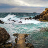
Rough seas battering the rocky caves in Ghar Lapsi in Siggiewi. This is more of a hidden cove rather than the normal definition given to a beach. It is situated around one kilometre from the popular Blue Grotto and is nestled underneath a less dramatic drop of Dingli Cliffs. Ghar Lapsi is a natural rocky swimming pool with a cave to compliment the beautiful surroundings. It is particularly popular with snorkelers due to being a naturally protected spot and with divers as an underwater shallow cavern leads out to the open Mediterranean Sea. Apart from a few small areas of flat rock, there is...
Read More


