

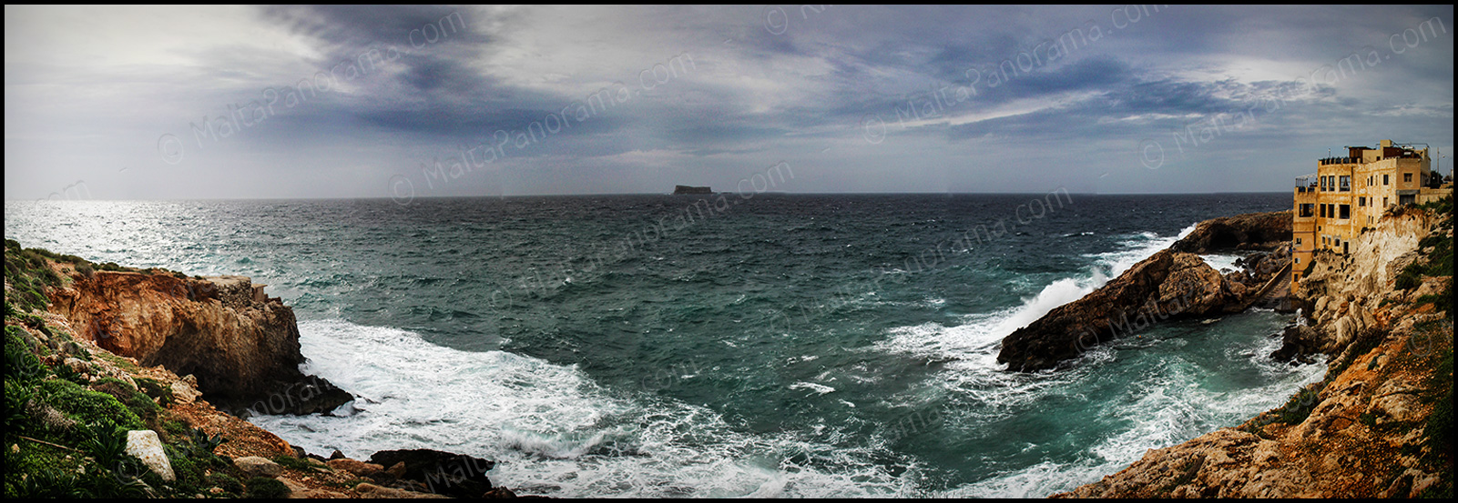
A view of Filfla from Ghar Lapsi.
Filfla is a tiny, barren, uninhabited island. Better to say islet. It is a most southerly part of the Maltese islands, approximately 5 kilometers down from Dingli. Next to Filfla there is even a smaller islet, Filfoletta. It is quite interesting, but its name comes from the word “filfel”, which means “peppercorn” in Arabic.
Thousands of year ago it was attached to the main island, then the Magħlaq geomorphological fault formed the islet and the nearby rocks. The only structure on the island was a small chapel built in a cave by local fisherman in 1343, dedicated to the Assumption of Our Lady. Unfortunately in 1856 the island was hit by a strong earthquake and half of the islet perished under the sea. This natural disaster included destroying the chapel as well.
Until 1971 Filfla was used by the Royal Navy and the Royal Air Force for target practice. Bombing between 1945 and 1972 reduced its size and caused a big damage to wildlife and changed the physical makeup of the island. That is why Filfla today is a nature reserve, home of various plants and animals, protected by the Maltese law since 1980. It is an important breeding and roosting site for seabirds. Three species of bird are known on the island: European Storm Petrel, Cory’s Shearwater and the Yellow-legged Gull.
Read more on http://malta.cc/maltese-islands/mysterious-island-filfla/
Location Map for Filfla:
View Filfla in a larger map