

Birgu – Fort St.Angelo (Ref: pfm140175)
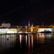
A view of Fort St.Angelo and Birgu (Vittoriosa) from Senglea at night. Fort St. Angelo is the jewel in the crown of The Maltese Islands’ military heritage. According to legend, the fort stands on the site of a fortified Roman settlement. When the Knights arrived on the Island in 1530, the Fort became the seat of the Grand Master of the Order. It was to play a heroic role in the Great Siege of 1565, when, against all odds, it managed to repel a formidable Saracen armada. The epic resistance of the Knights during the three-month siege gave the Fort its legendary status. In the 19th century,...
Read MoreFilfla (Ref: pfm110174)
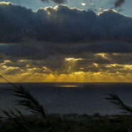
The wintry sun rays passing through the clouds over Filfla. Filfla is a small, barren, uninhabited islet 5 kilometres (3.1 miles) south of Malta, and is the most southerly point of the Maltese Archipelago. Filfoletta, a small rocky islet some 100 metres (328 feet) southwest of Filfla, has the southernmost point of Malta. The name is believed to come from filfel, the Arabic for a peppercorn. Filfla has an area of just 6 hectares (15 acres) and is a crumbling flat-topped limestone plateau surrounded by 60 metres (197 feet) high cliffs. Three species of sea birds breed on the islet: the...
Read MoreDusk from Fort Ricasoli (Ref: pfm120150)
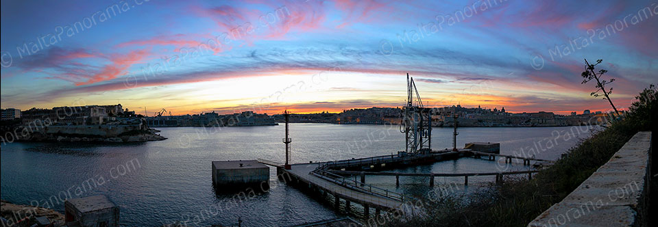
Colorful display of last remaining light during dusk as seen from Fort Ricasoli in Kalkara. “The Ricasoli Fortification was built by the Knights during the period 1670-1693 as part of the defensive system to protect Grand Harbour. It was erected by Nicholas Cottoner, the grand master from (1663-1680), designed by Antonio Maurizio Valperga and named after Giovanni Francesco Ricasoli, who provided much of the finance. It continued as a military installation throughout British Rule, but suffered extensive damage during the siege of Malta in World War II. The internal buildings, including...
Read MoreBirzebbuga – Colorful Boats (Ref: pfm120143)
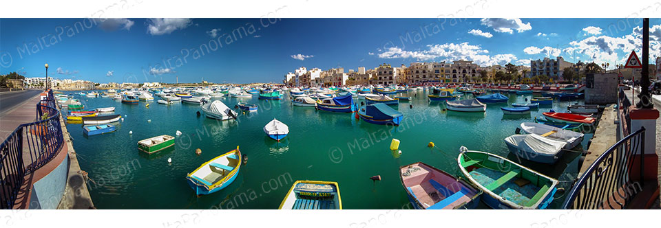
Colorful boats in St.George’s Ba, Birzebbugia. Location Map: View St.George’s Park – Birzebbuga in a larger map
Read MoreQrendi – Mnajdra Temples (Ref: pfm120137)
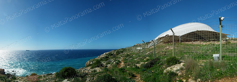
Mnajdra is a megalithic temple complex dating back to circa 3600-3200BC. Situated in Qrendi on the southern coast of Malta it is approximately 500 metres from the Ħaġar Qim megalithic complex. One can see the small rock-island of Filfla in the background. Location Map: View Mnajdra in a larger map
Read MoreVillage Alleys At Tarxien (Ref: pfm110111)

A view of decorated alleys during a spectacle based on folklore and traditional customs held in Tarxien reenacts a typical Maltese style of living. This event, “Puniċi – l-istorja tibda hawn” loosely translated as The Phoenicians, the story starts here, reflects the eventful history of Tarxien as it evolved with the history of the rest of the island. The Phoenicians were well known for their maritime travel and business in the Med-iterranean. They arrived in Malta in 800 BC, where among other towns and villages, they inhabitied the village of Tarxien....
Read More